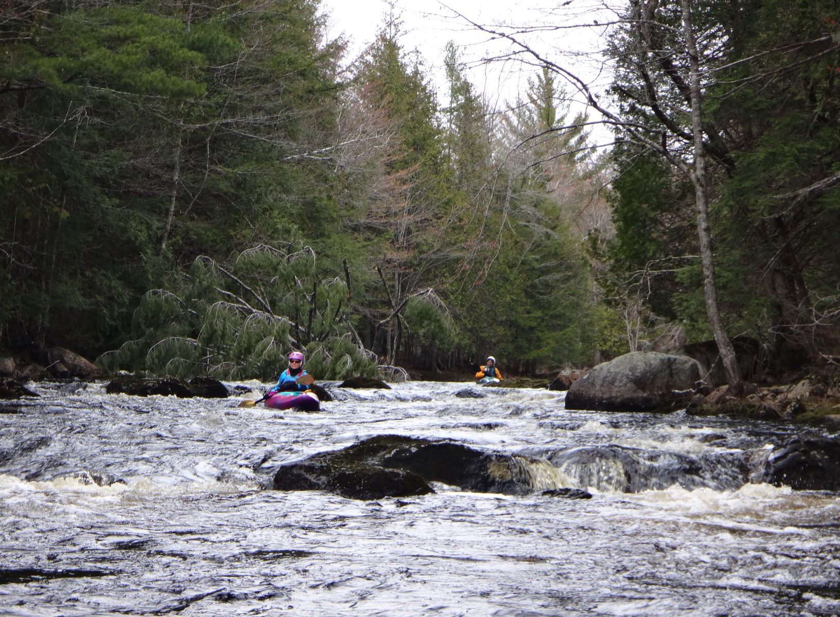
An anticipated gap in the rain, and flat calm conditions, provided an opportunity for paddling in the waters between Petit Manan Point, in Steuben, and Cape Split, in Addison. From that broader area, we chose this time to do the central portion of the area from Milbridge boat ramp, across Narraguagus Bay and Harrington Bay, through the nearby islands to the Harrington boat ramp. That more restricted area offered opportunity for shoreside paddling, with sheltered coves, in case the existing fog came in thicker during the trip.
The morning of the paddle, with the 12-foot tide at dead low, we opted to reverse the course, putting in at the deep-water launch in Harrington, heading generally westward, and then riding the incoming tide up to an easier and less muddy takeout in Milbridge.
With visibility about 300 yards at our 1100 hours launch, we paddled south along the western shore of the Ripley Neck peninsula until we were abreast of Dry Ledge and its large seal colony about a half mile offshore to the west. Venturing off from the shore of Ripley, we could maintain visual contact with the Ripley shore until we could easily see Dry Ledge, and then, moving westerly, the two other ledges leading us across a mile and a half of water to the eastern shore of Foster Island. Plenty of curious seals took time from their corralling of schools of menhaden (or pogies) to visit us.
Since some paddlers were new to the area, we then explored two coves on the eastern shore of Foster Island that are both scenic and provide good refuge if the weather turns bad. (the TC is very big on having plenty of refuges available.)
With the visibility increasing and the sun getting brighter, we paddled southward along Foster, across the channel to Dyer Island, and into the lovely and super protected Northeast Cove for a break. It’s a beautiful inlet, albeit shallow at low tide, with Strout Island, Otter Island, and tiny Isabel Island (the latter claimed and named by the TC’s granddaughter on a previous visit) visible from the inner cove.
From Northeast Cove, with the tide running inward from astern, we coasted back north along the northeast shore of Dyer Island, and then quartered northwest in the current between Dyer and Foster, across the two-mile, open-water run of Narraguagus Bay to Fickett Point and the mouth of the Narraguagus River. From there, the incoming tide carried us up through the lobsterboat anchorages to the Milbridge takeout at the boat ramp.
Total time afloat was about three hours and 40 minutes, with total distance 7.5 nautical miles, or 8.6 statute miles.
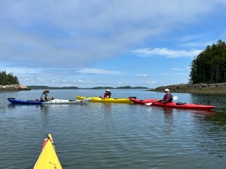
Paddlers were Andra Lotze, director of development for the Steuben-based Eagle Hill Field Research Institute; Rick Vanderpol, a visiting instructor at the institute; PPCS President Helen Hess; and TC Norm Olsen.
Notes on the area:
The shuttle between Milbridge boat ramp and Harrington boat ramp is about 20-25 minutes and 14 miles, up Route 1A and then south on the Marshville Road (a half mile east of the Irving station) leading down the Ripley Neck.
The Harrington launch area has parking but no other facilities. The Milbridge launch area has a small park, picnic tables, porta potties, and plenty of parking. Two miles south of the Milbridge launch, on the western shore, is Chipman’s lobster pound and seafood takeout, which has a ramp where paddlers can haul out, and a lovely rooftop deck on which to dine.
While this entire area is largely protected from swells, that two-mile stretch across Narraguagus Bay can get uncomfortable in a breeze, particularly if the breeze and tidal current are running in opposite directions. If wind, sea, current or fog had been less favorable, we would have gone north and west from the Harrington put-in, across the few hundred yards to Ray’s Point, and then right along the shore inside of Foster Island and around Fickett Point to the Narraguagus. Along that route, Flat Bay and Back Bay offer lovely, protected paddling, with lots of wildlife.
Farther offshore are another dozen principal islands and even more ledges, but few decent landing spots. Flint Island, directly south of Dyer Island and owned by the Nature Conservancy, has a stony beach on its northern side.
Tiny Mink Island, on the east side of the Ripley Neck in the mouth of the Pleasant River, is a Maine Island Trail campsite, but landing is over the ledges.
Sheep Island, farther south, close along the Addison Shore and just a few hundred yards off the west side of Cape Split, is also a MITA site and has a lovely, protected, sand beach and easy camping. Sheep Island is easily accessible from Cape Split causeway which has a couple of pull over parking spots. MITA also has a site on the northeast side of Bois Bubert Island that is accessible from the launch ramp on the road leading to Petit Manan Point.